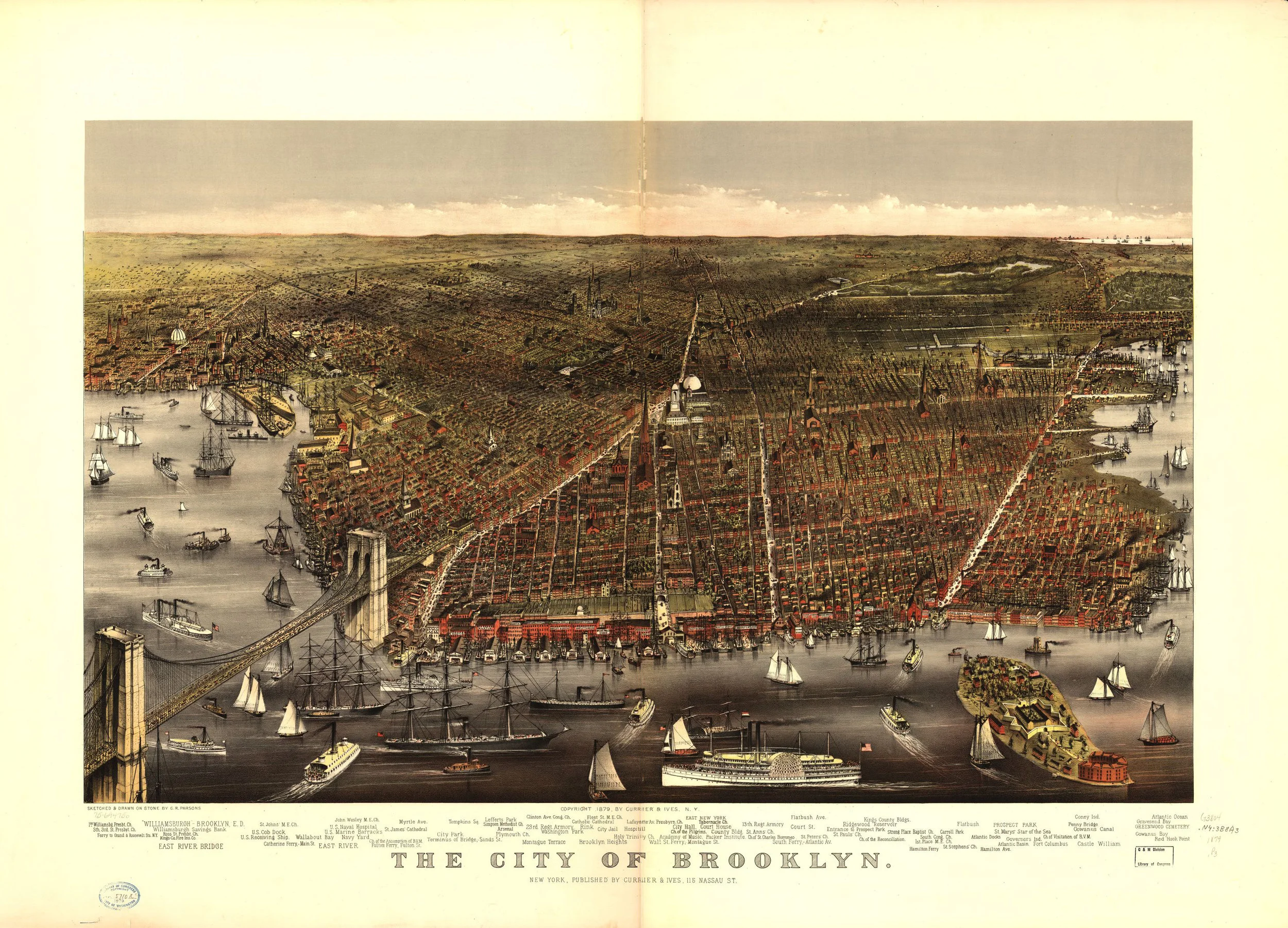
Brooklyn Map, 1912

Brooklyn Map, 1912
from $19.99
1912 map of Brooklyn showing developed areas in red, "white areas show unbuilt sections into which Brooklyn must grow." The red line across the map shows the "crest of Brooklyn, which is 180 feet high in the vicinity of Prospect Park and Brownsville is nature's boundary to the East River Territory. The new country to the southeast comprising the major portion geographically, of both Brooklyn and Queens belongs to Jamaica Bay, and must be supplied from there. The alternative of hauling supplies into this district up-hill from the rear is difficult, costly, and unreasonable. This district is growing more rapidly than any other part of Greater New York. Its present population approximates 600,000."
Size:
Quantity: