
FINE-ART PRINTS


Historic photograph of the Flatiron Building and Madison Square in 1902, the year the Flatiron was completed.
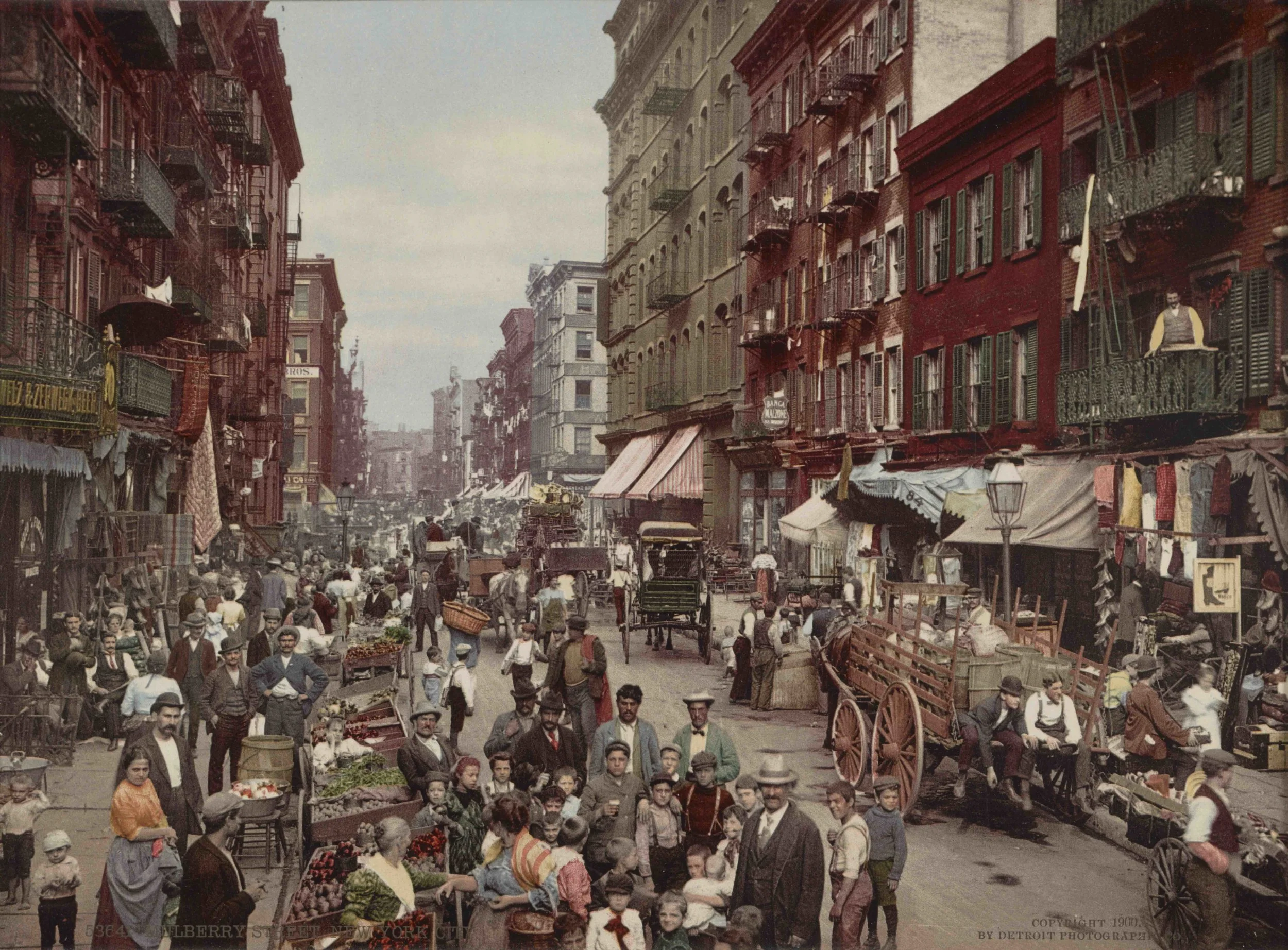
Colorized historic photo of Mulberry Street, circa 1900. Original black and white also available in checkout options.
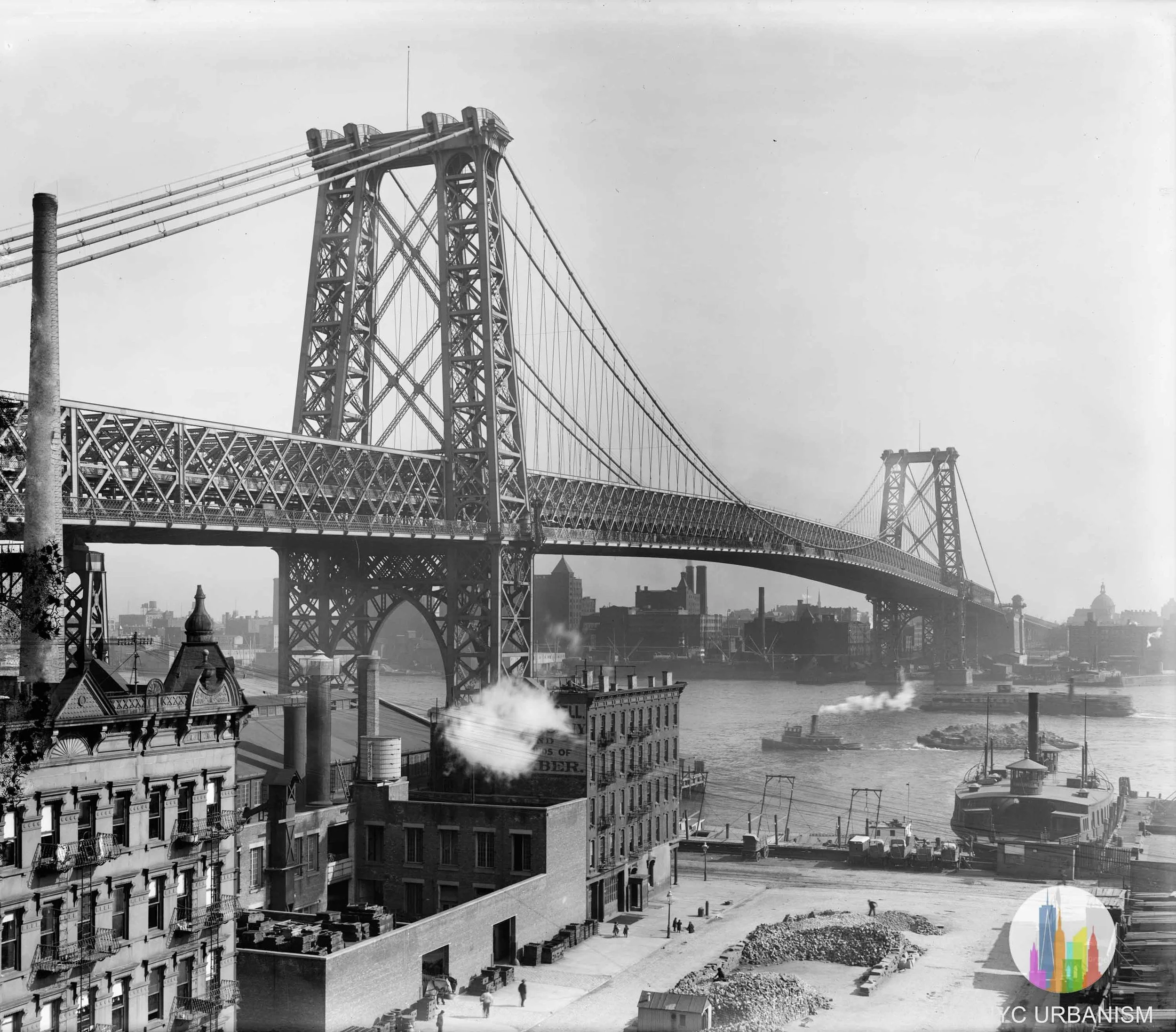
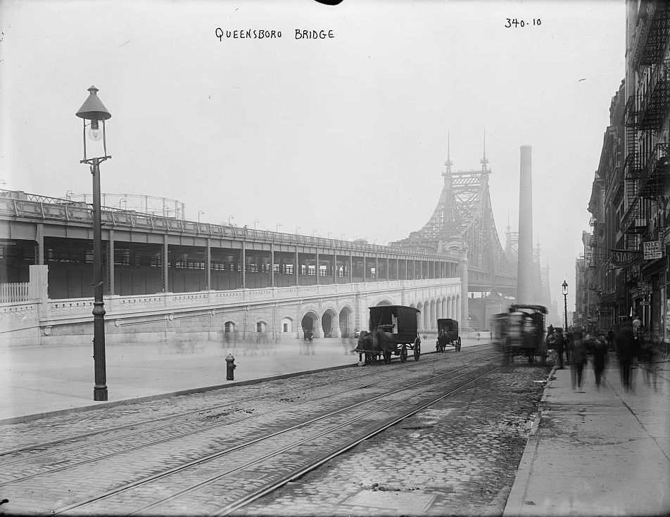
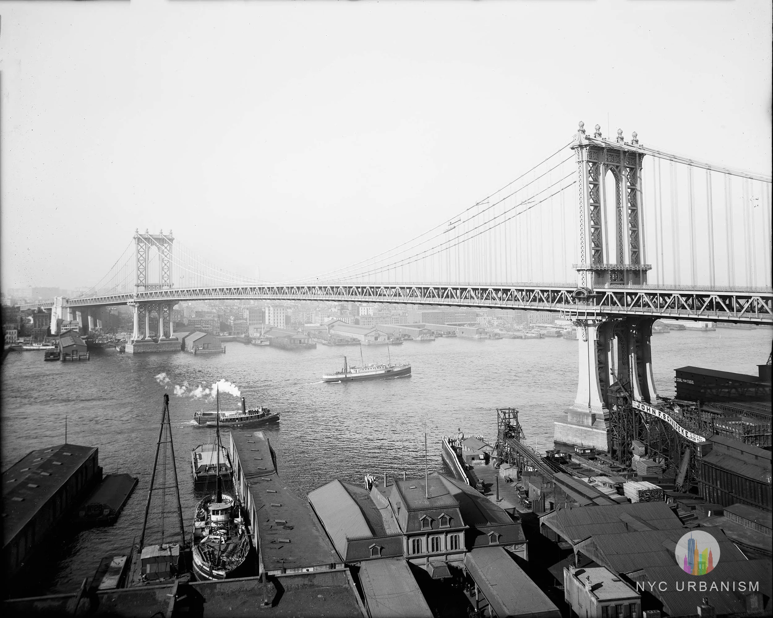
Rare photograph from Manhattan looking over the East River at the newly constructed bridge, 1903.
Note that there is slight damage to the original glass plate on the far left side of the image.

Historic photograph of the Brooklyn Bridge and Lower Manhattan Skyline, 1903. Cable Cars and horse-drawn carriages are seen traveling on the bridge, with the Park Row Building, the tallest in the world, rising in the background.
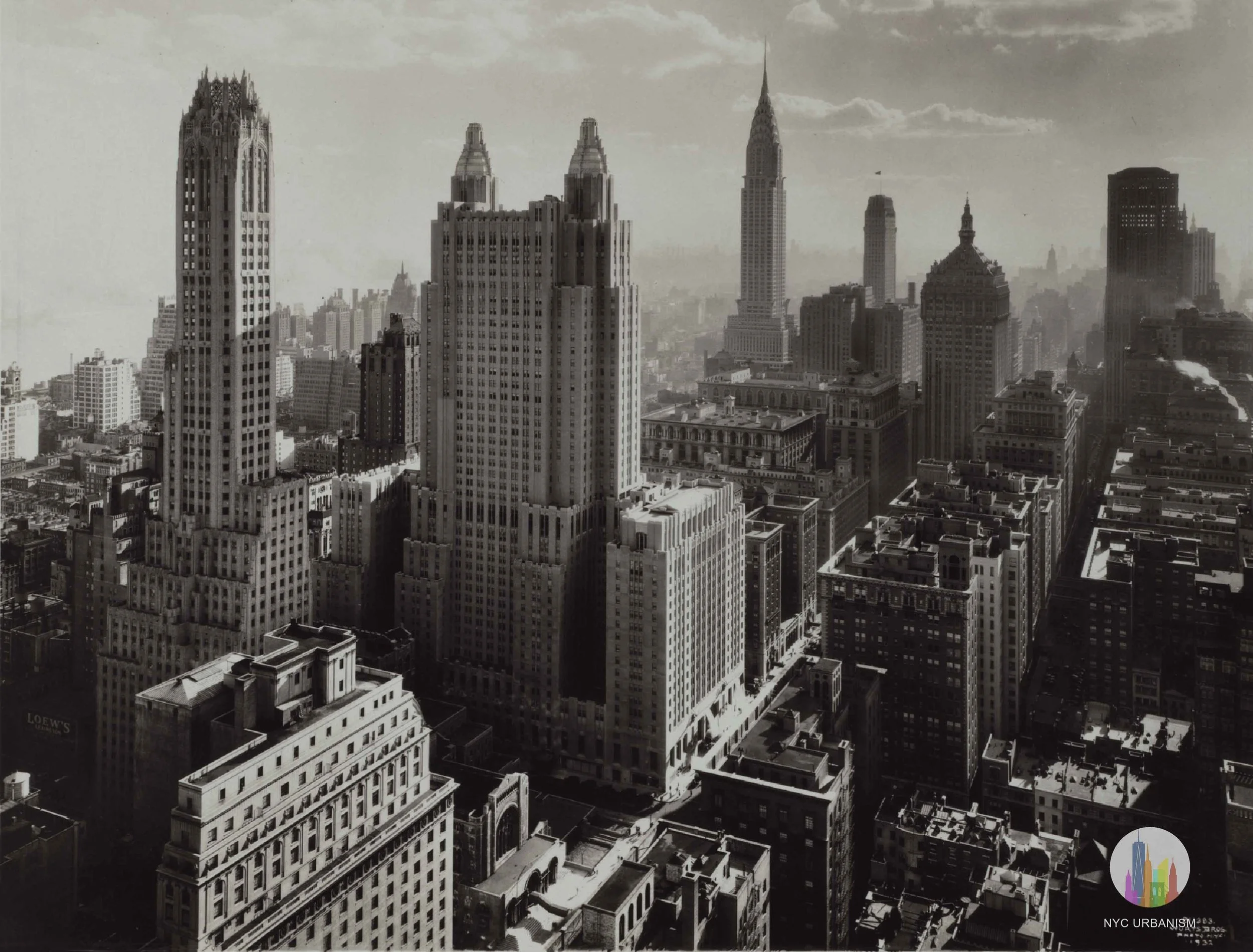
View down Park Avenue from 51st Street showing the new Art Deco skyscrapers including the General Electric Building (Cross & Cross, 570 Lexington Ave), The Waldorf Astoria (Schultze & Weaver), The Chrysler Building (William Van Alen) and the Helmsley Building (originaly New York Central Building, Warren and Wetmore).
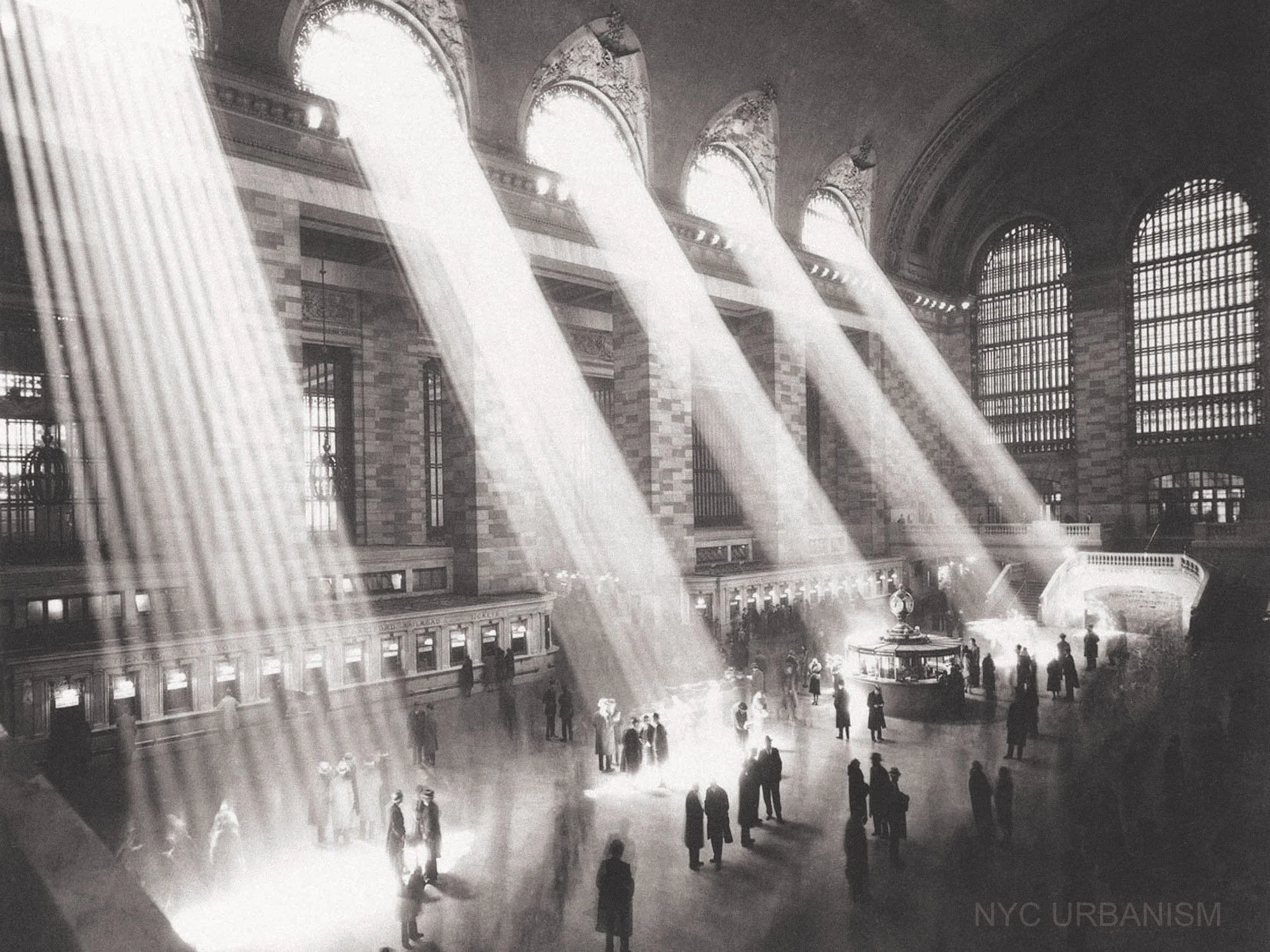
One of our all-time favorite photos. Grand Central Terminal illuminated by afternoon sunlight in 1929.
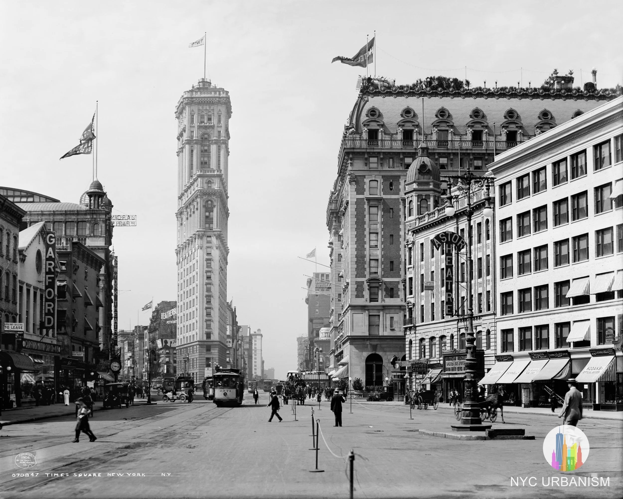
Times Square, looking south at the Times Tower (One Times Square), which opened four years earlier.

Rare aerial view from 1910 looking north over Washington Square Park towards Greenwich Village with the Metropolitan Life Tower in the distance.
Purchase a gift card from NYC Urbanism for a friend or family member to use for fine-art prints of NYC photos, maps and illustrations including vintage land maps of all NYC blocks/neighborhoods. Gift cards do not expire. The gift card will be emailed to the purchaser after confirmation of payment.
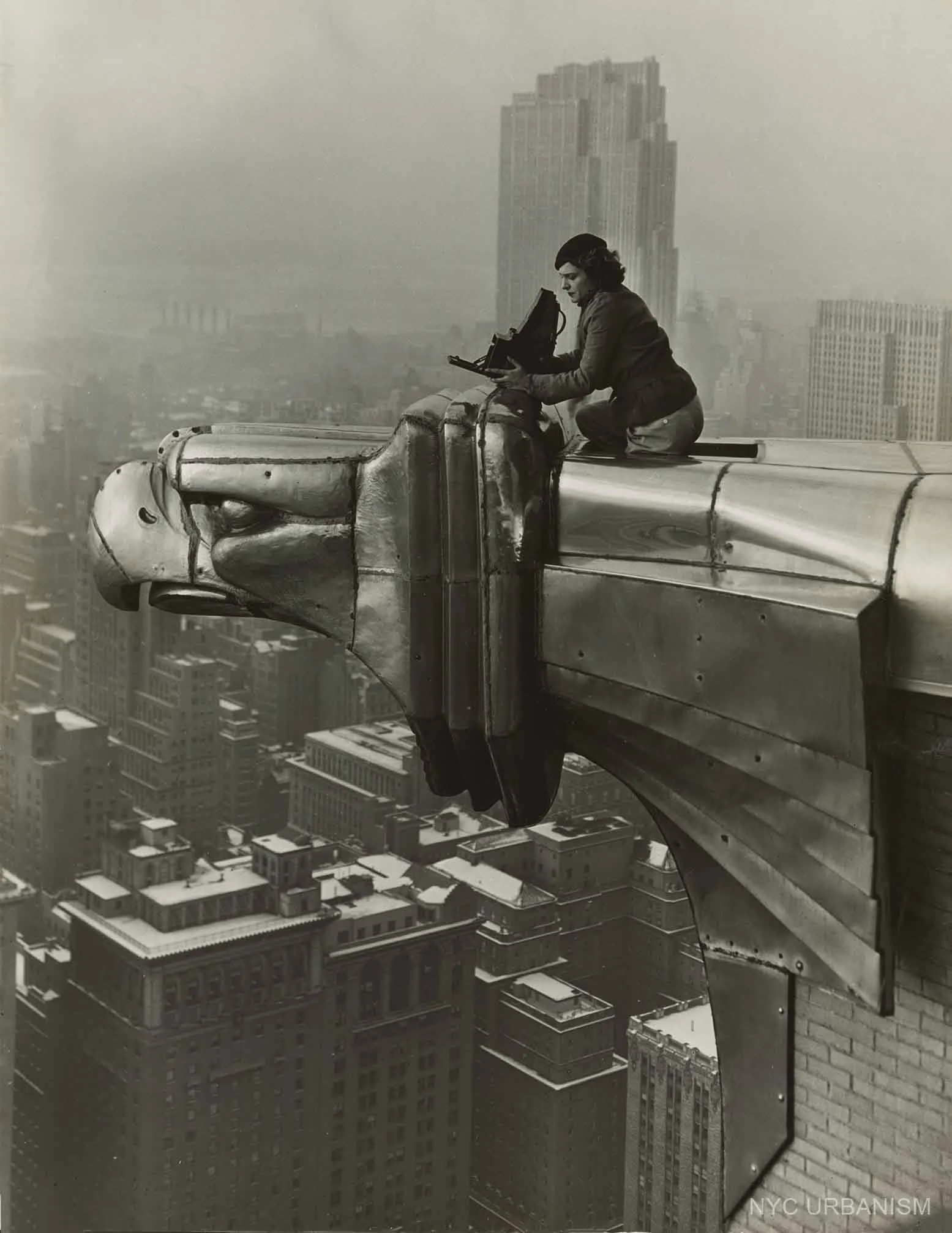
Photojournalist Margaret Bourke-White taking a photo atop the Chrysler Building gargoyles in 1930. Bourke had her photo studio in the Chrysler Building. The eagle gargoyles were designed to resemble an actual Chrysler hood ornament.
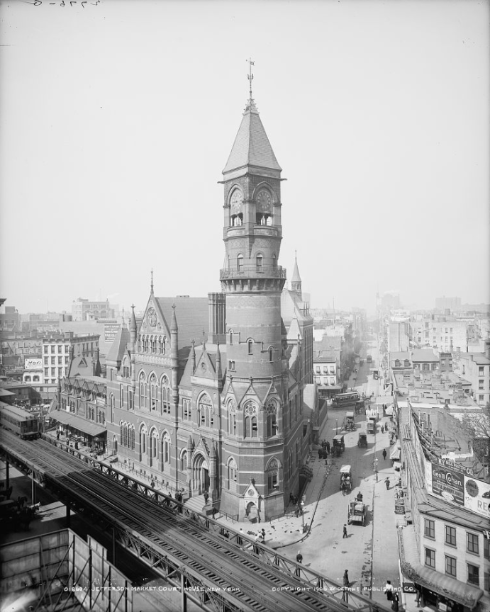
Historic photograph of the Jefferson Market Courthouse in the West Village, 1905.

Historic fire insurance maps dating from the 1880s - 1915 are available for all Five Boroughs. Please fill out the form with the address of the area and we will send you the corresponding historic map. Message us with questions or if you need help.
These maps were used by insurance companies to assess properties and have become extremely useful to urban historians, as they identify not just the pattern of streets and blocks but the precise lot or building dimensions, outline, and lot coverage; height in stories; street and sidewalk widths; addresses; lot owner; stream; farm lines; and the City's block and lot numbers. The color of the lot determines the type of exterior, most often pink for brick.
The original maps were part of a “Land Book” that was broken up into several volumes. Each page, or plate depicts a section of the map, usually four or five square blocks. An index page in the front of the book helps the user find a specific plate, or view the legend.
Printed on museum quality archival paper, 13x19”
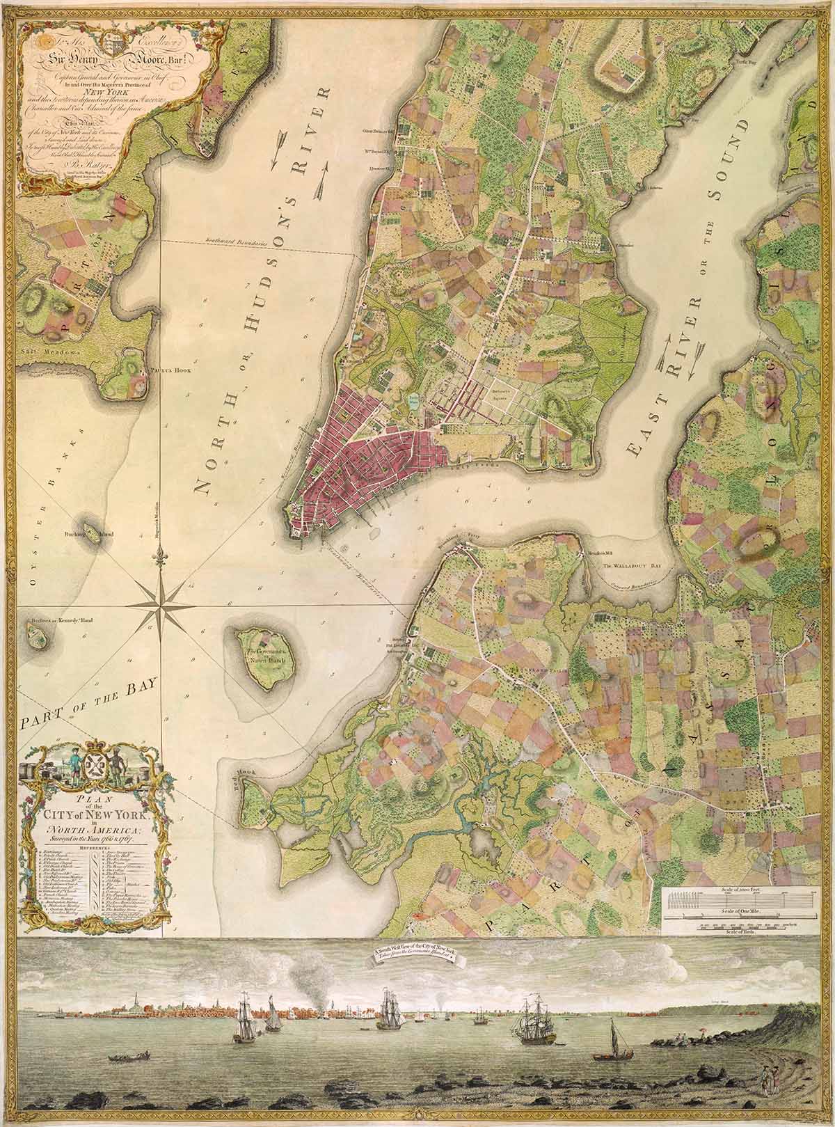
The Plan of the City of New York in North America by British military officer Bernard Ratzer, created in 1766-1767 and printed in 1770.
The Ratzer Map offers a detailed view of Brooklyn and Manhattan in the years leading up to the Revolutionary War. The Brooklyn Historical Society detailed the map and its importance:
"It shows two views of a bustling and growing city set amid fields and forests. A large map provides a birds-eye view of lower Manhattan Island, eastern New Jersey, and—across the East River—the farms of “Brookland” (Brooklyn). At the bottom of the map, Bernard Ratzer included a view of busy New York harbor as seen from Governor’s Island. This panorama shows an incredible level of detail, including ships, buildings, and the coastline. It is so detailed that it even shows smoke rising from buildings in Manhattan. The Ratzer Map gives us many clues about New Yorkers of 240 years ago. We see the development of city infrastructure, including sometimes twisting, sometimes grid-like roads. Clusters of buildings indicate where most people lived and worked. The names of farms and large estates tell us who owned land. The map shows important natural features, such as swamps, ponds, rivers and streams. It also shows us ways that New Yorkers changed the natural landscape by planting pastures, orchards, and gardens."

1972 modernist subway map by designer, Massimo Vignelli who also designed the New York City Transit Authority’s Graphic Standards Manual in 1970. This simplified map is not geographically accurate, simplifying the subway system into a diagram of colored lines. Each station is represented by a dot and linked to other color-coded lines running vertical, horizontal, or at 45-degree angles. Water is beige, parks are brown, the boroughs are greatly distorted with no mention of specific landmarks or neighborhoods. Central Park, for example, is wider than it is tall.
Since the map was replaced for a more geographically accurate map in 1979, the map has become a favorite for graphic design enthusiasts.

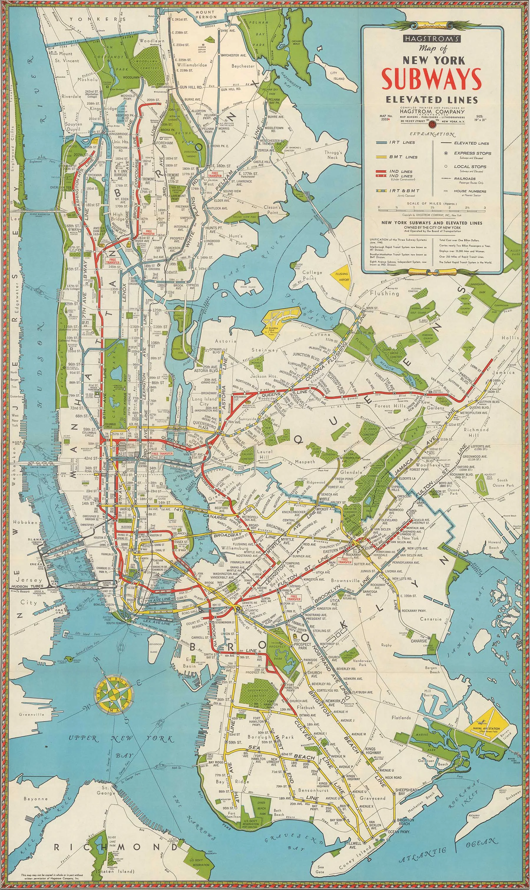
1942 Hagstrom Subway Map. The map shows subway, elevated, and surface lines along with major roads, landmarks, streets, and tunnels. IRT, BMT and IND lines are all illustrated.
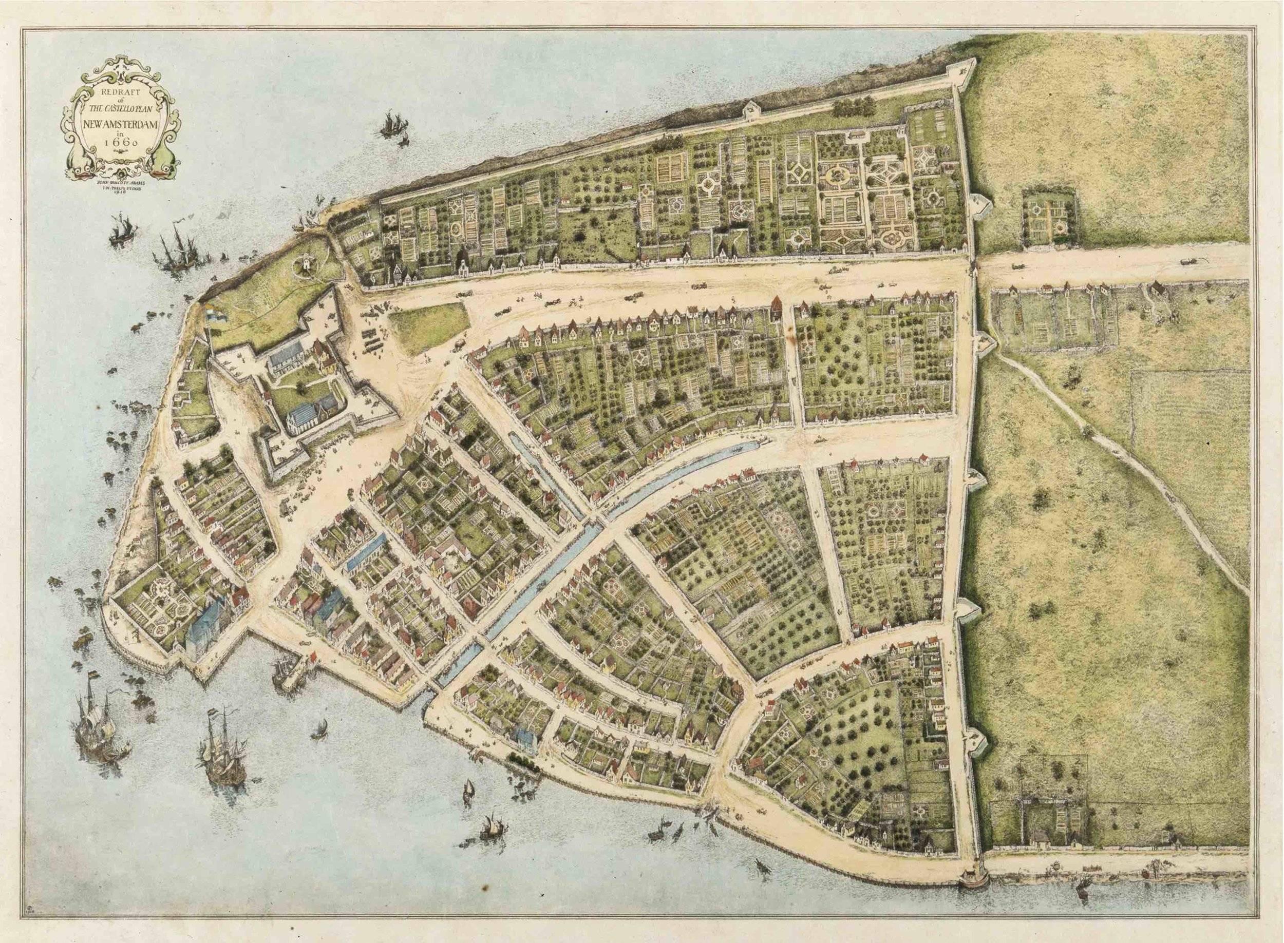
One of the earliest maps of New York City, the Castello plan shows Dutch New Amsterdam in 1660. This original street grid still exists today but has been enlarged with landfill since the city was founded. As illustrated on the map, Pearl Street was the original East River water line, named for the pearly oyster shells along the shore. New landfill in the East River pushed the shoreline to 'Water' Street, then 'Front' Street, both named for their frontage along the water. South Street was the last street along the East River created from landfill. The historic Castello Plan street grid is now landmarked.

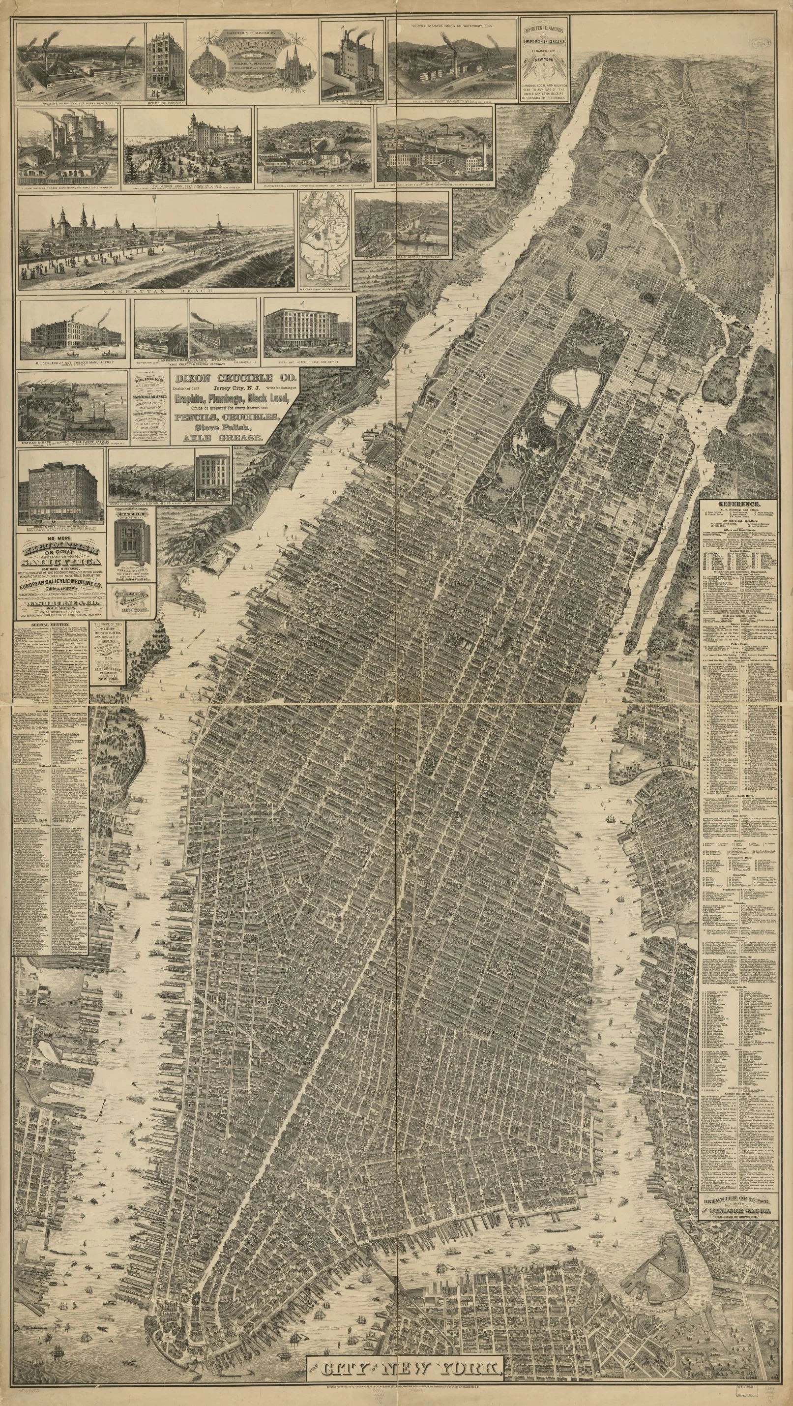
Incredible map of Manhattan with sections of Brooklyn and Queens and notable landmarks. Illustrated by Will L. Taylor, 1879.
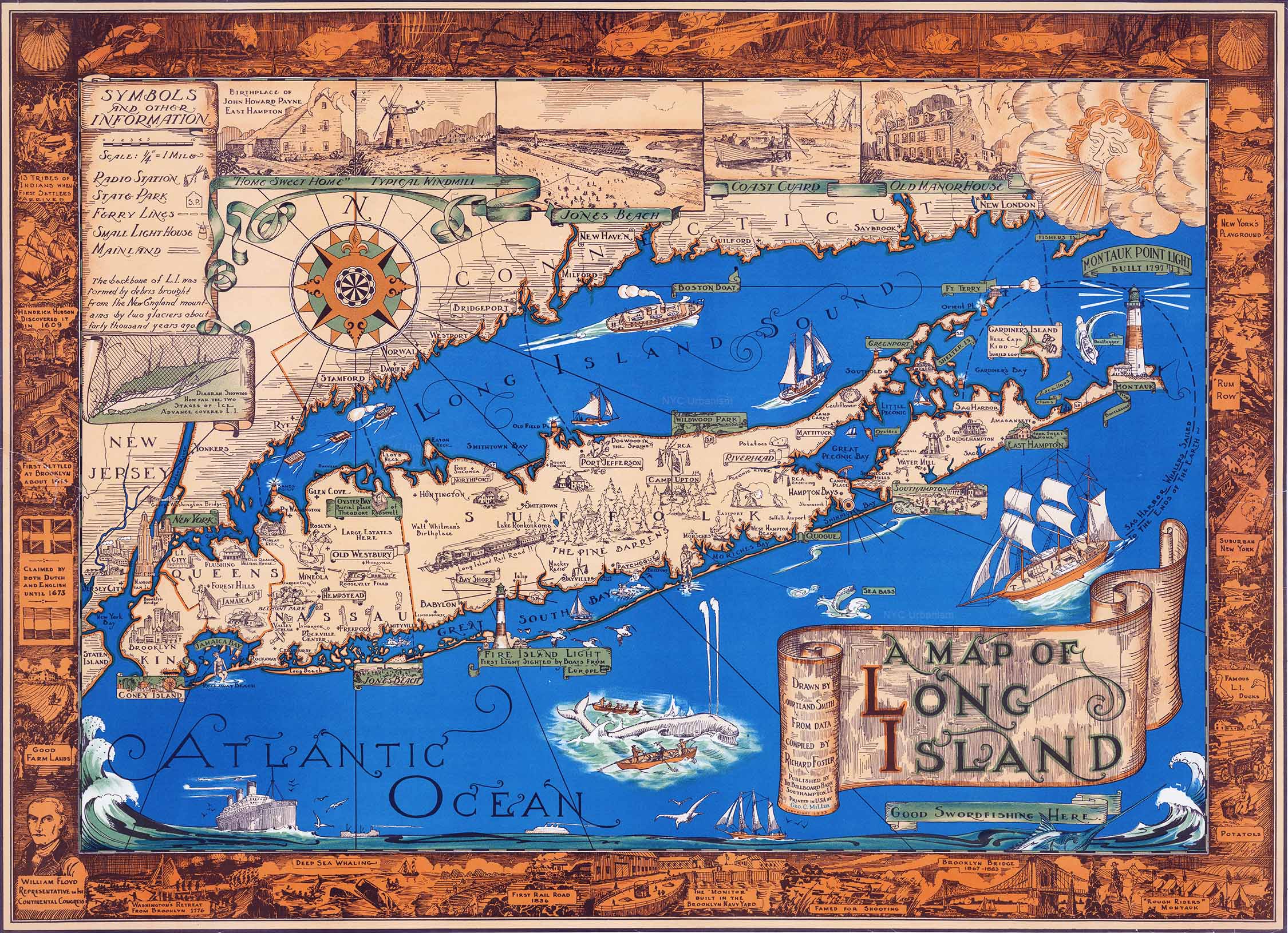
This pictorial map of Long Island includes landmarks across Long Island from the Fire Island Lighthouse, Long Island Railroad and the beach at Southampton. Illustrations border the map with underwater scenes and historical anecdotes. The legend highlights Long Island radio stations, state parks, ferry lines, and lighthouses.
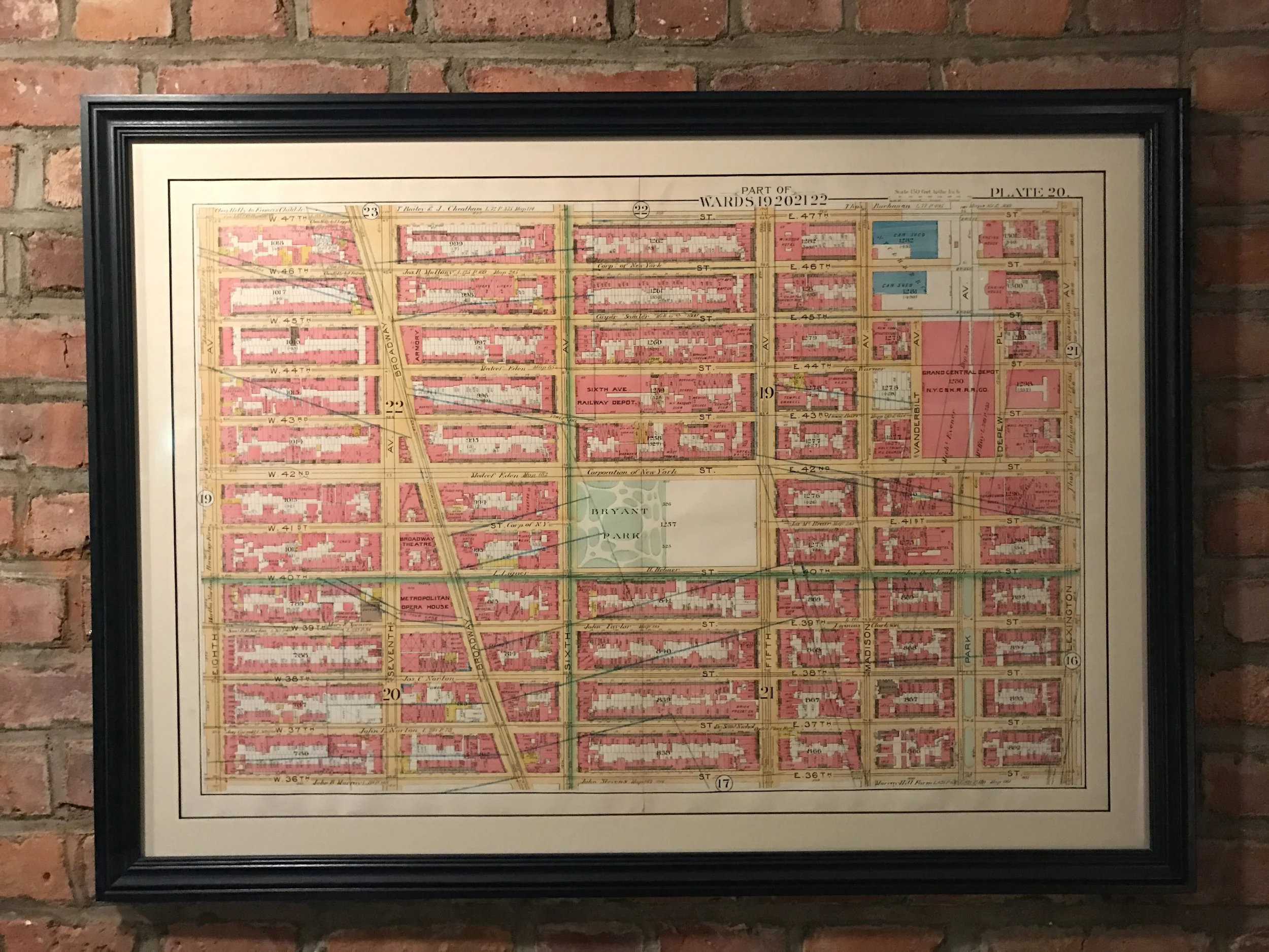
Print of Ward's New York City Atlas. The white square on this map is the previous location of the Croton Reservoir, soon to become the New York Public Library at 5th and 42nd Street.

IRT subway map from 1924 showing all subway and elevated lines in Manhattan, Brooklyn, Queens and the Bronx.
NYC WALKING TOURS
NYC Urbanism offers a small number of walking tours for private groups every year. Contact josh@nycurbanism.com to book your tour for 2020 today!
𝟏𝟗𝟑𝟎, 𝐆𝐫𝐚𝐧𝐝 𝐂𝐞𝐧𝐭𝐫𝐚𝐥 𝐓𝐞𝐫𝐦𝐢𝐧𝐚𝐥: Sunlight streams through the windows into the concourse. A sight that today is rarer due to the ban on smoking indoors and the tall buildings that have risen around the terminal. Still, the windows along the southern facade, which faces Park Avenue South can provide uninterrupted light in the concourse today. This iconic image is definitely one of our all-time favorite NYC photographs.
Custom sizes can be requested. All prints are reproductions of the original.