
1882 Topographical Map of Northern New Jersey

1882 Topographical Map of Northern New Jersey
from $18.99
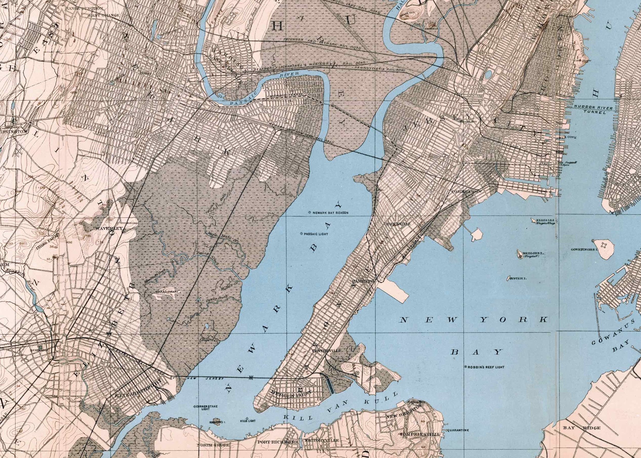
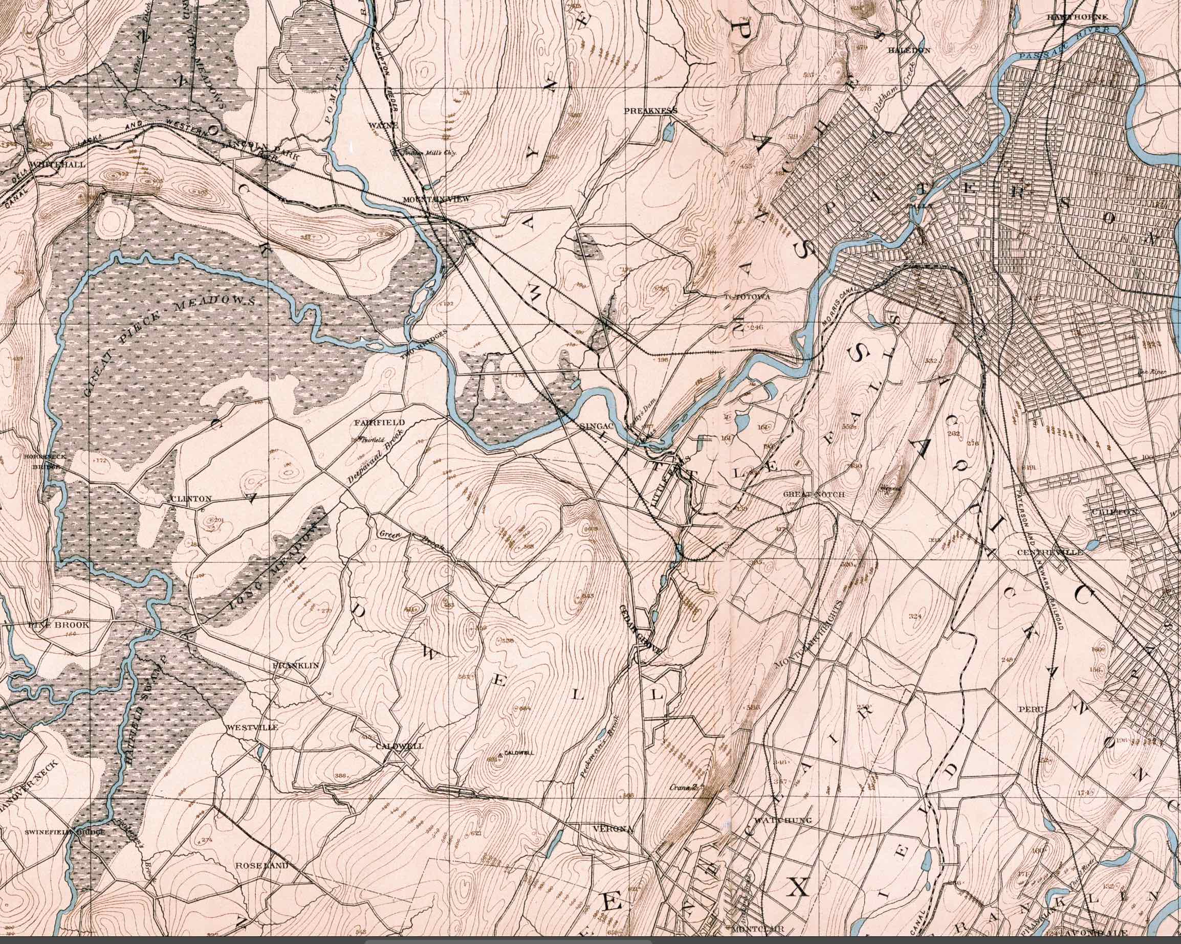
This beautiful and detailed map encompasses a large swath of the state. Its borders are as follows: Rockaway, NJ, and Morristown to the northwest; New Brunswick and South Amboy to the South; Brooklyn and Queens to the east; Yonkers to the northeast; and Patterson to the north. The details include topography, streets, roads, rail lines, towns, and more.
Larger maps of specific quadrants of this map are available by request. Larger sizes are also available upon special request.
***Note the second and third images above are details showing the high resolution of the print.
***No watermark on printed version.
Size:
Quantity: